Park Links
NAQCPA home page
Almaden Quicksilver County Park
Southwest Trails
Santa Clara County Parks
Official Quicksilver Park Page
Park Map
Pioneer Day, Wood Road, 10/11/08
Bay Area Ridge Trail
Midpeninsula Regional Open Space District
Geocaching Links
GPS Class Slideshow 4/30/06 (31MB)
Geocaching Class, Woods Rd, 6/14/08
Geocaching.com
Geocachers of the Bay Area
Geocaching in Santa Teresa park
Geocaching Class, Almaden Quicksilver, Wood Road Trail, January 17, 2009
On January 17, 2009, as part of
the
County Parks' Outdoor Recreation Program, a class was held on
geocaching, taught by Docent Sam Drake, with the assistance of several
experienced geocachers. 32 people signed in, but more showed up later.
The total number was probably close to 40. The class started at the
Wood Road Trailhead in Almaden Quicksilver County Park. Many of the
participants had never been to this part of the park before or even any
part of the park, so they got a new experience hiking as well as
geocaching.
Geocaching is an activity where participants use a GPS (Global Positioning System) receiver to locate hidden containers, called geocaches. The locations of the geocaches are published on the Geocaching.com website. GPS coordinates are entered into the receivers. Seekers, called geocachers, use the receivers to get within about 10-20 feet of the geocache. Then they search the area looking for the hidden geocache, which can vary widely in the size and type of container. Some typical containers are film cans, Tupperware food containers, or large metal boxes. They may be painted or covered with colored tape to make them less visible. There are rules and limitations on geocaches, imposed by Geocaching.com and the County Parks. A cache cannot be buried, but it can be covered with rocks, sticks, leaves, wood, or other materials. Geocaches, at a minimum, contain a sheet or book on which finders sign their names, usually a geocaching nickname, or "handle." The handle may be used for one person, a couple, or a group. If the cache is large enough, it may contain trading items, which can include toys, coins, or personalized signature items. It may also contain "travel bugs," which are items moved from cache to cache and tracked online. After finding the cache, finders then sign on to the Geocaching.com website and log their finds online. They may include comments about the cache experience and upload pictures. Almaden Quicksilver Park has a large number of geocaches. The Wood Road Trail has a large number of them. It has a wide variety of caches in terms of size and difficulty, so is an ideal trail to learn geocaching.
Geocaching is an activity where participants use a GPS (Global Positioning System) receiver to locate hidden containers, called geocaches. The locations of the geocaches are published on the Geocaching.com website. GPS coordinates are entered into the receivers. Seekers, called geocachers, use the receivers to get within about 10-20 feet of the geocache. Then they search the area looking for the hidden geocache, which can vary widely in the size and type of container. Some typical containers are film cans, Tupperware food containers, or large metal boxes. They may be painted or covered with colored tape to make them less visible. There are rules and limitations on geocaches, imposed by Geocaching.com and the County Parks. A cache cannot be buried, but it can be covered with rocks, sticks, leaves, wood, or other materials. Geocaches, at a minimum, contain a sheet or book on which finders sign their names, usually a geocaching nickname, or "handle." The handle may be used for one person, a couple, or a group. If the cache is large enough, it may contain trading items, which can include toys, coins, or personalized signature items. It may also contain "travel bugs," which are items moved from cache to cache and tracked online. After finding the cache, finders then sign on to the Geocaching.com website and log their finds online. They may include comments about the cache experience and upload pictures. Almaden Quicksilver Park has a large number of geocaches. The Wood Road Trail has a large number of them. It has a wide variety of caches in terms of size and difficulty, so is an ideal trail to learn geocaching.
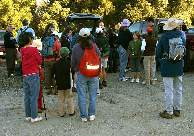
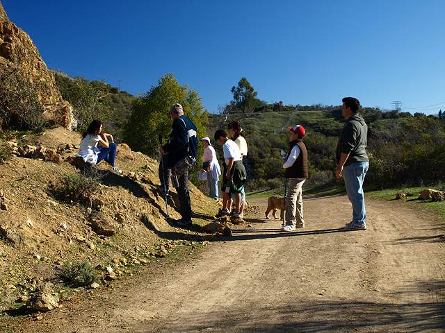
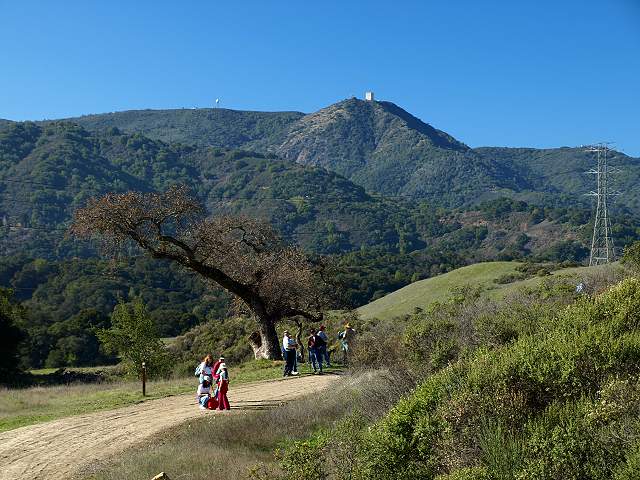
The group assembling in the Wood Road parking lot, off Hicks Road.
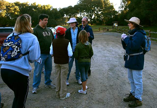
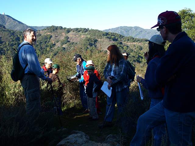
Sam (center) and Elaine (right) Drake greet the class participants.
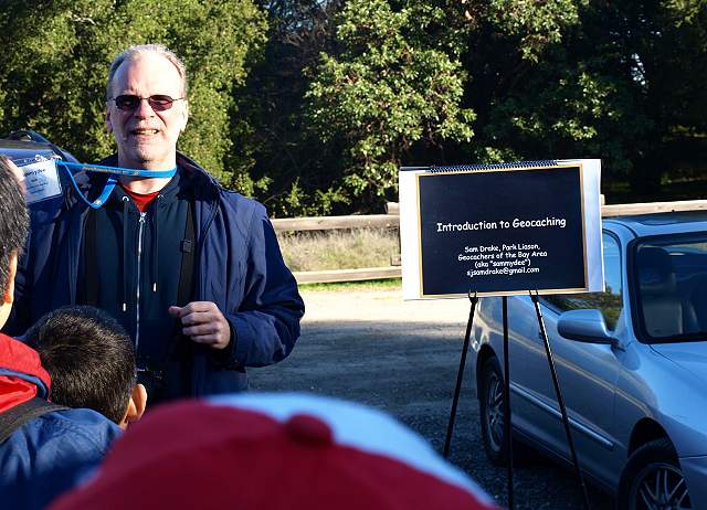
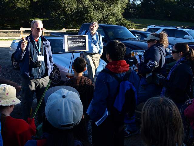
Sam Drake ("Sammydee") giving his outdoor Powerpoint presentation on geocaching.
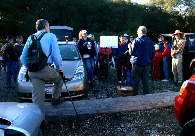
Sam talked about geocaching to the class.
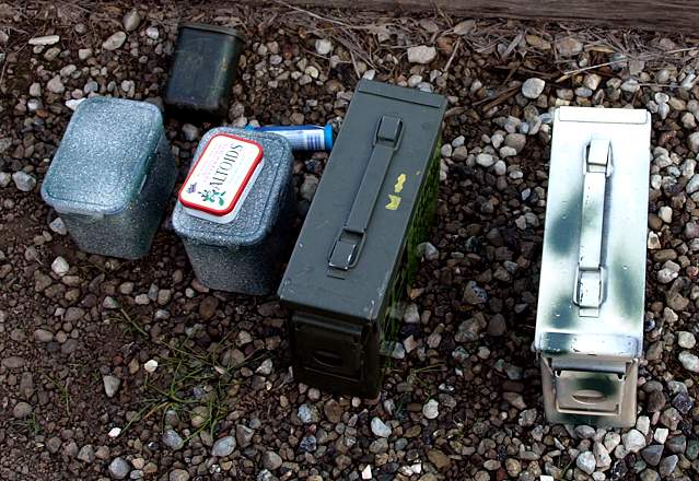
Examples of containers used for geocaches, some prepared, some not.
Sam explained how to use the GPS units, supplied by the County Parks for the class.

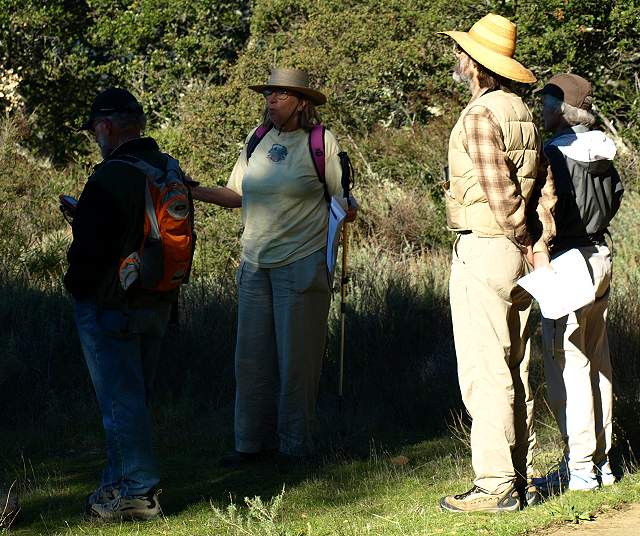
Some of the experienced
geocachers, who led the groups: Mrs. & Mr. "Purple People" on the
left, "Dowbiggin" on the right.
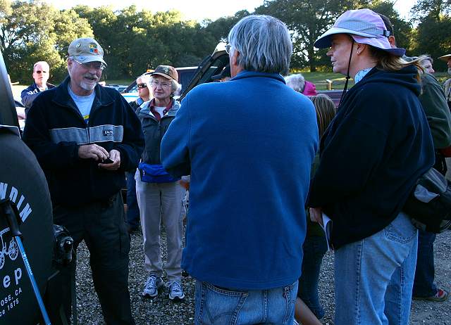
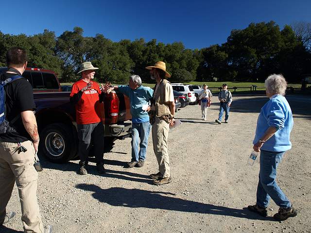
Geocacher Tom "Riledwino" talks to FOSTP president Mike Boulland.
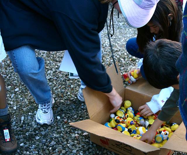
Rubber ducks, to be used as trading items.
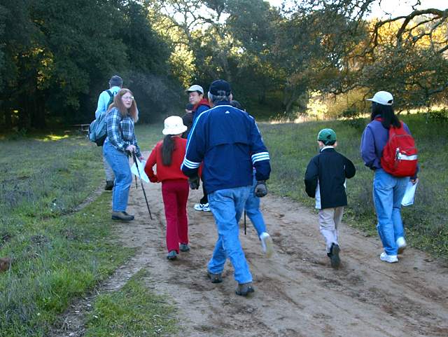
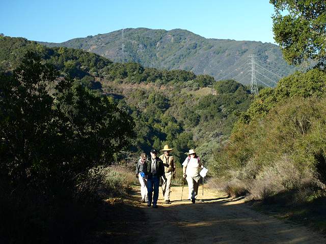
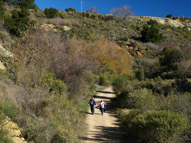
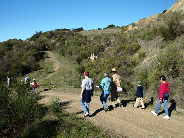
The class divided up into small
groups that set out separately, led by the "Purple People" geocachers
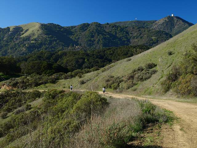
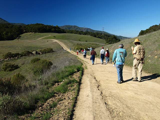
(left). This is the first group, heading up the Wood Road Trail. The
trail runs for 1.3 miles and ends at Mine Hill.
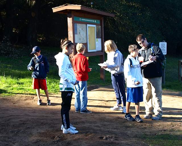
Another group assembles at the trailhead, led by geocacher "Crazyon2wheels" (right).
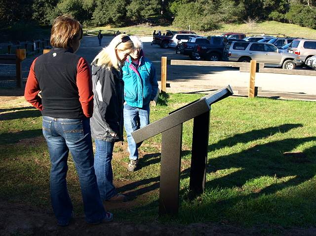
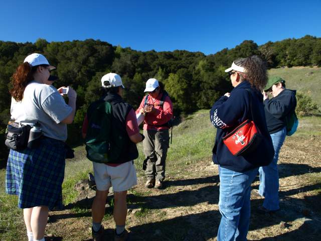
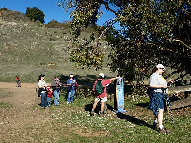
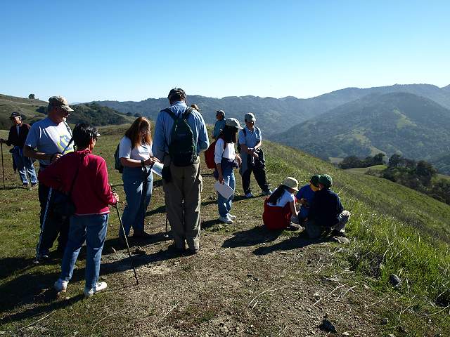
Carrie Grisenti (center), County
Parks Outdoor Recreation Leader, looks at the Wood Road interpretive
sign, with NAQCPA president Kitty Monahan (right). Carrie worked on
organizing and publicizing the class. Wood Road was built in 1876 by
the Quicksilver Mining Company. It was used to bring wood from trees
cut down in the surrounding hills to the mercury reduction furnaces at
the Hacienda area. Those furnaces consumed up to 300 cords of wood per
month. The Wood
Road Trail was dedicated in April, 2004. It leads from Hicks Road
to Mine Hill and is a link in the Bay
Area Ridge Trail. On the other side of Hicks Road, the Ridge Trail
continues along the Woods Trail in the Sierra
Azul Open Space Preserve.
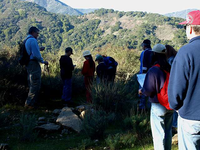
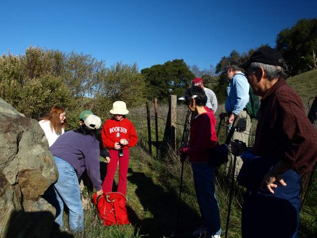
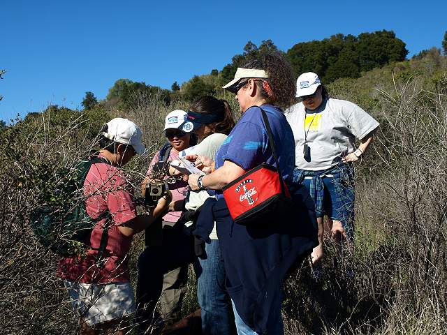
Searching for a geocache.
The group found a geocache in a medium-size container.
Another group comes up the trail, led by geocacher "Hotshoe" (right).
Geocacher "Hotshoe" (center) with her group.
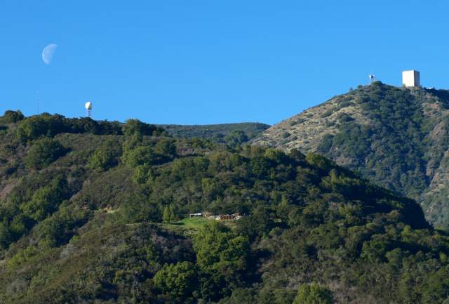
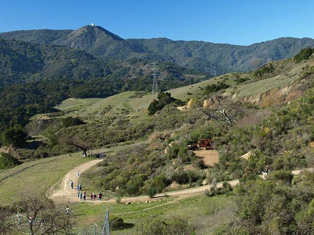
View of Mt. Umunhum and the Sierra Azuls across the valley.
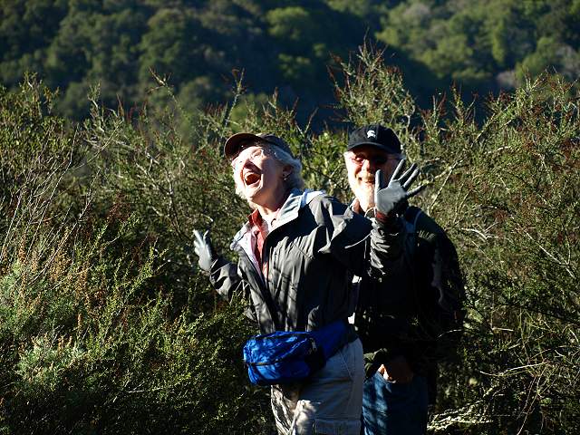
Very happy at finding a cache.
Elaine Drake, geocacher "Downbiggin," and Sam Drake come up the trail with another group.
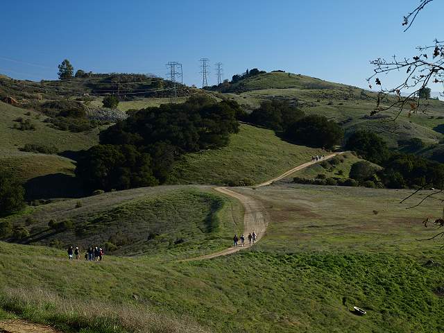
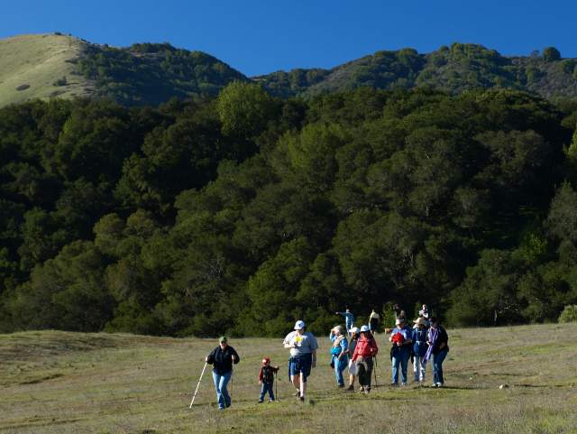
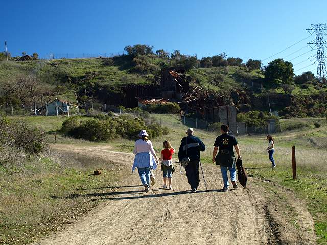
Several groups head out towards
Mine Hill on the Wood Road Trail. The large flat area to the right was
once a hill. The dirt from the hill was used for mercury remediation in
the park.
Finding a small cache.
This group found a very well-camouflaged small cache.
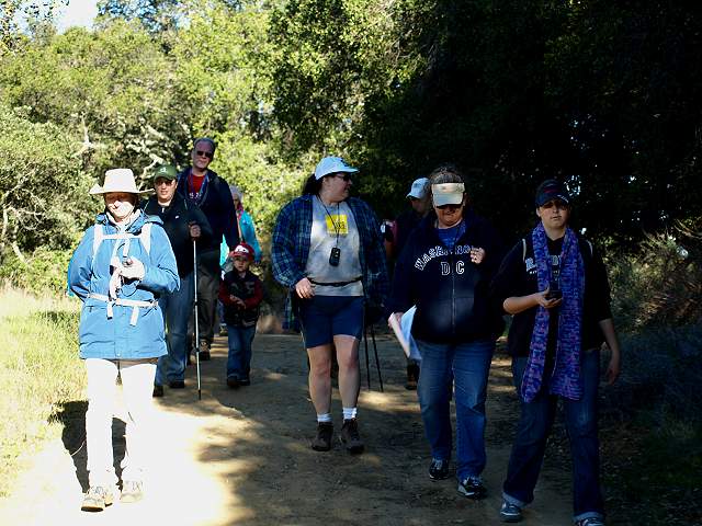
Groups coming across the flat area.
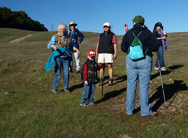
NAQCPA president Kitty Monahan with another group.
After a long search, this group finally found the cache, with FOSTP president Mike Boulland.
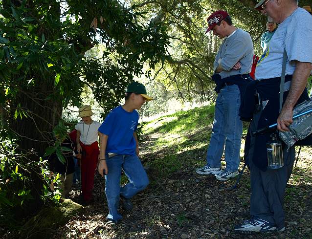
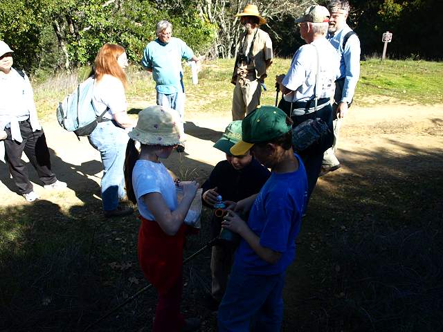
2 kids come rushing up the trail anxious to find another cache.
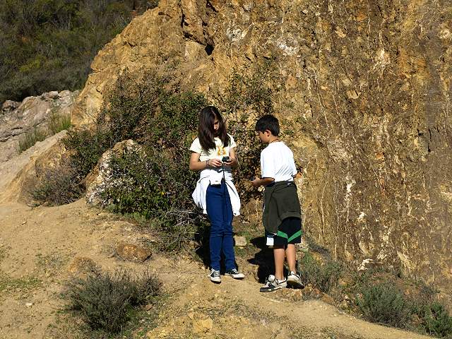
The kids find the cache near the large rock by the old tunnel.
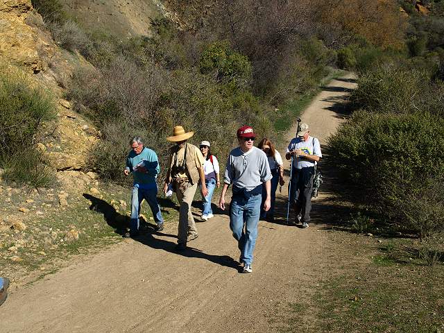
"Riledwino" (right) and his group come up the trail.
A group joins the kids by the large rock. There was once a mine tunnel here.
Sam and Carrie Grisenti
returning from Mine Hill.
Group heading towards the cache near the Mine Hill Rotary Furnace.
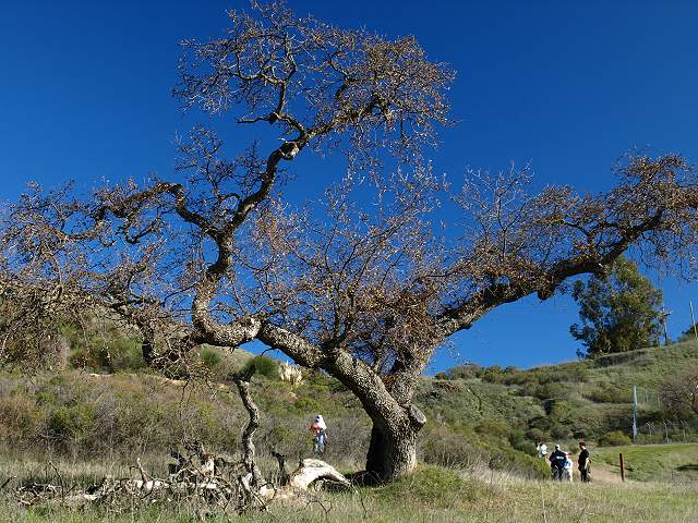
Group searching for a cache behind
the "Hanging Tree." The tree was used to administer vigilante justice
during the early mining days.
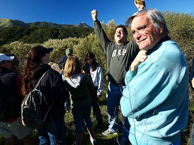
They found a large cache.
Group heading downhill from Mine Hill.
This group is searching for a
cache near the old gas pump on Mine Hill. Mine Hill is the highest
point in the park at 1728 feet. Several trails meet here or near here:
the Castillero, the Yellow Kid, and the Hidalgo Cemetery Trail. From
here, you can continue onto other parts of the park, but this is the
turn-around point for the class.
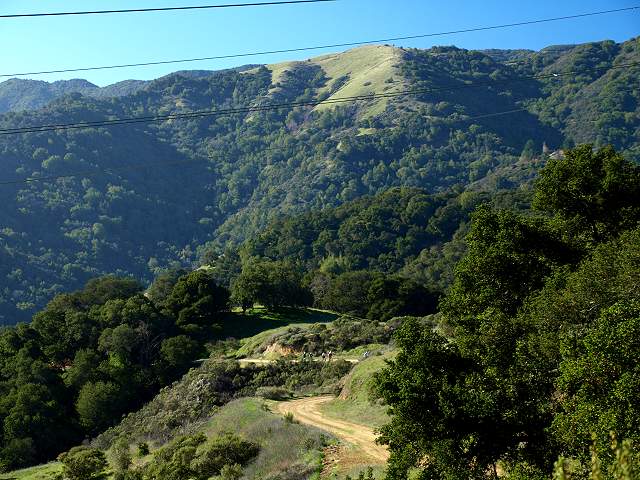
Looking down on the Wood Road Trail from Mine Hill.
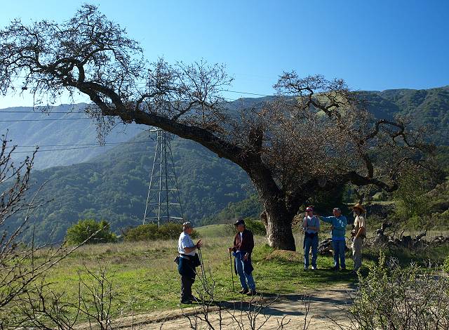
Mike Boulland pointing out points of interest by the Hanging Tree.
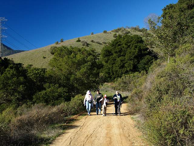
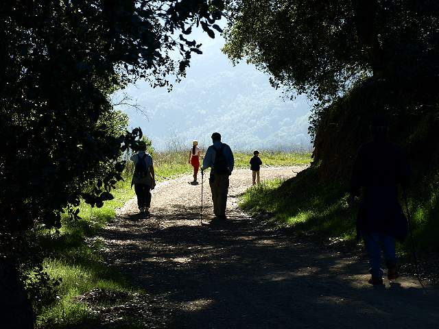
Group heading back on the trail.
Group stops to look for the small cache at the flat area.
Looking for a cache under the trees. The cache that was originally here was in a log that rolled downhill.
They found the cache, actually a temporary replacement for the one that disappeared.
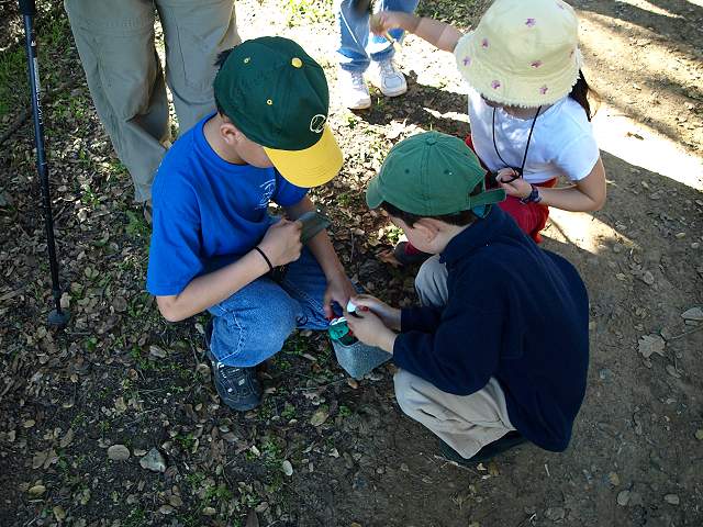
The kids found a medium-size cache.
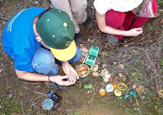
The contents of the cache.
Sam greets the class as they return to the parking lot.
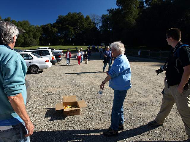
Mike Boulland and Kitty Monahan greet the last group returning at the end of the hike.
Class picture by Sam Drake on Flickr
Created by Ron Horii, 1/18/09