Park Links
NAQCPA home page
Almaden Quicksilver County Park
Southwest Trails
Santa Clara County Parks
Official Quicksilver Park Page
Park Map
Pioneer Day, Wood Road, 10/11/08
Bay Area Ridge Trail
Midpeninsula Regional Open Space District
Geocaching Links
GPS Class Slideshow 4/30/06 (31MB)
Geocaching Class, Woods Rd, 6/14/08
Geocaching Class, Woods Rd, 1/17/09
Geocaching Class, Santa Teresa Park, 4/11/09
Geocaching Class, Mt. Madonna, 7/11/09
Geocaching.com
Geocachers of the Bay Area
Geocaching in Santa Teresa park
Geocaching Class, Almaden Quicksilver, Wood Road Trail, January 16, 2010
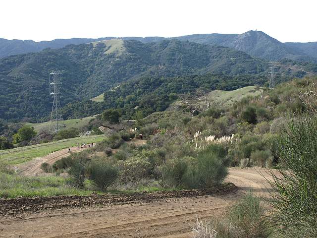
View of the Wood Road Trail from Mine Hill
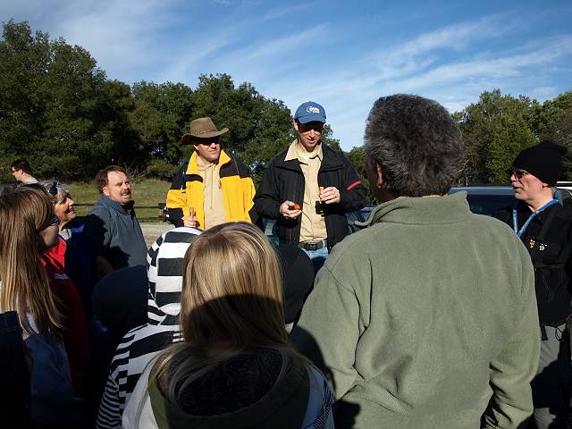
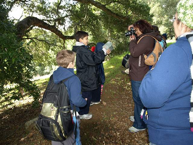
On January 16, 2010, as part of the County Parks' Outdoor Recreation Program, a class was held on geocaching, taught by Docent Sam Drake, with the assistance of several experienced geocachers. The class started at the Wood Road Trailhead in Almaden Quicksilver County Park off Hicks Road. Many of the participants had never been to this part of the park before or even any part of the park, so they got a new experience hiking as well as geocaching.
Geocaching is an activity where participants use a GPS (Global Positioning System) receiver to locate hidden containers, called geocaches. The locations of the geocaches are published on the Geocaching.com website. GPS coordinates are entered into the receivers. Seekers, called geocachers, use the receivers to get within about 10-20 feet of the geocache. Then they search the area looking for the hidden geocache, which can vary widely in the size and type of container. Some typical containers are film cans, Tupperware food containers, or large metal boxes. They may be painted or covered with colored tape to make them less visible. There are rules and limitations on geocaches, imposed by Geocaching.com and the County Parks. A cache cannot be buried, but it can be covered with rocks, sticks, leaves, wood, or other materials. Geocaches, at a minimum, contain a sheet or book on which finders sign their names, usually a geocaching nickname, or "handle." The handle may be used for one person, a couple, or a group. If the cache is large enough, it may contain trading items, which can include toys, coins, or personalized signature items. It may also contain "travel bugs," which are items moved from cache to cache and tracked online. After finding the cache, finders then sign on to the Geocaching.com website and log their finds online. They may include comments about the cache experience and upload pictures. Almaden Quicksilver Park has a large number of geocaches. Many are along the Wood Road Trail. It has a wide variety of caches in terms of size and difficulty, so is an ideal trail to learn geocaching.
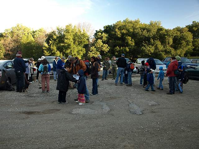
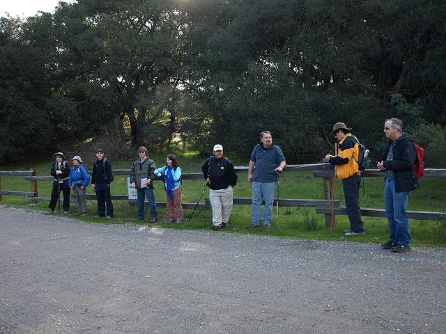
The class gathers in the Wood Road Trail parking lot.
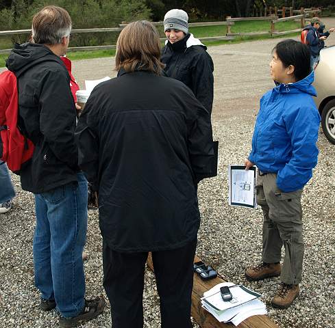
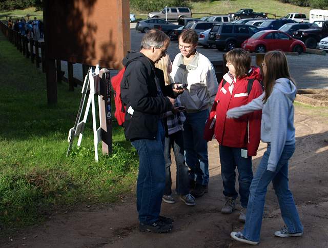
Geocachers with the loaner GPS receivers and instructions.
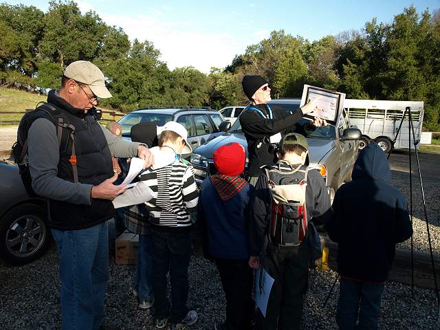
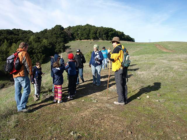
Sam Drake gives his presentation on geocaching. He is explaining how to use the GPS receivers.
The group finds the first geocache.
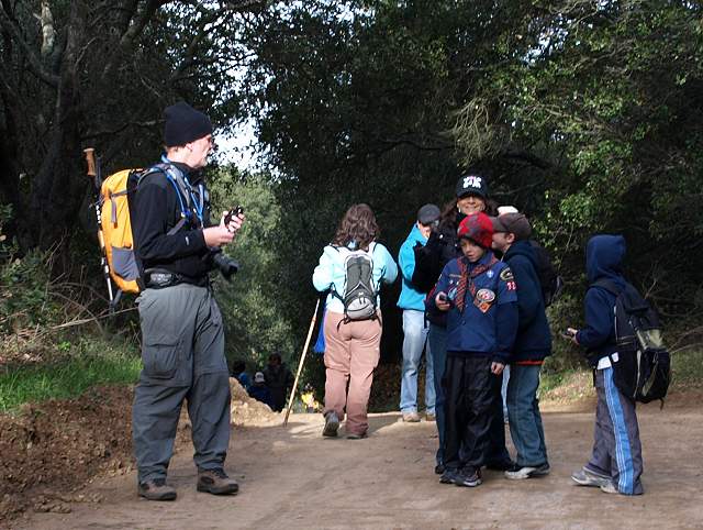
Some of the experienced geocachers line up to lead the hike, dividing into smaller groups.
One group stops at the trailhead, checking their GPS receivers to locate the first geocache.
A group of Cub Scouts comes up the trail. This part of the Wood Road Trail runs through a shady forest.
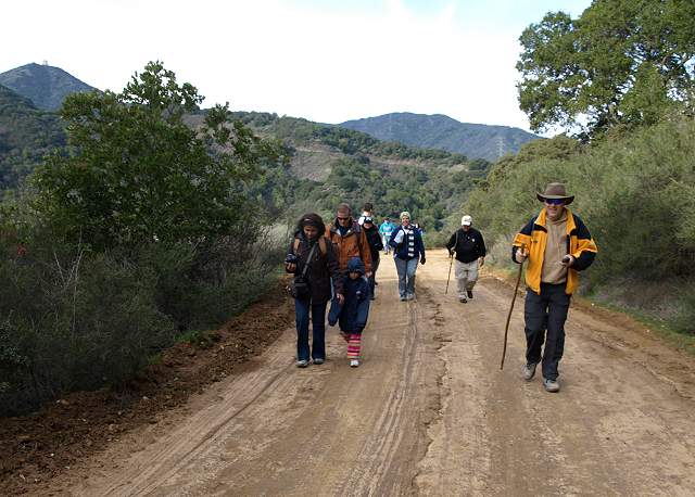
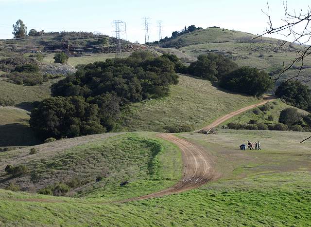
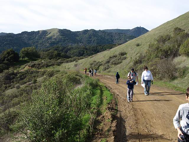
Another group comes up the trail. The part of the trail runs through a clear area with views of the Sierra Azuls. Mt. Umunhum is on the left.
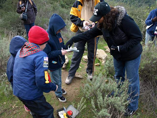
This group has found a geocache and is signing the logbook.
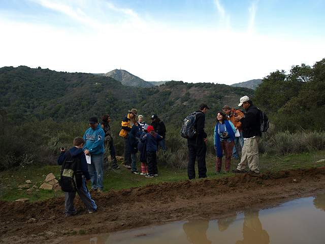
This part of the trail had a puddle, but the trails were good in general. This cache overlooks Jacques Gulch and the Sierra Azuls.
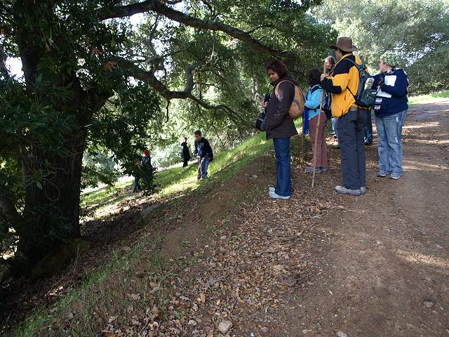
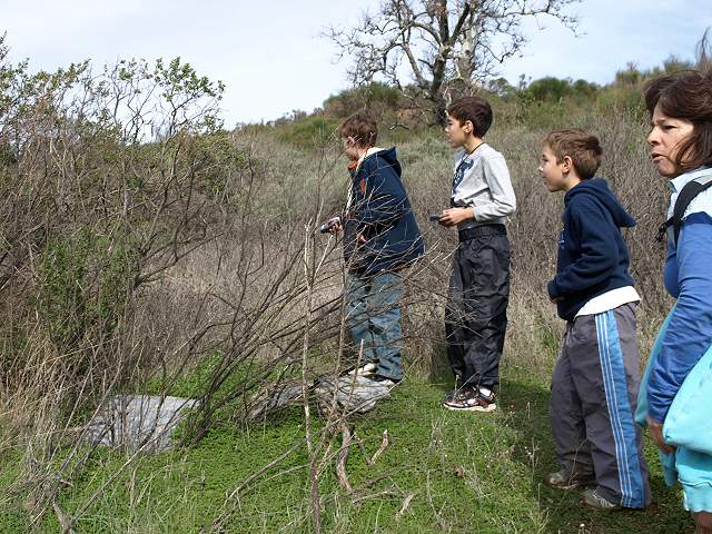
They are looking for the geocache near this grove of trees.
They found it!
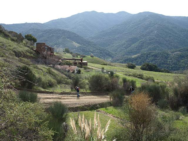
Another group down below leaves a cache site by the big flat area along the trail. The Mine Hill Rotary Furnace is in the background to the left.
The kids found the small cache.
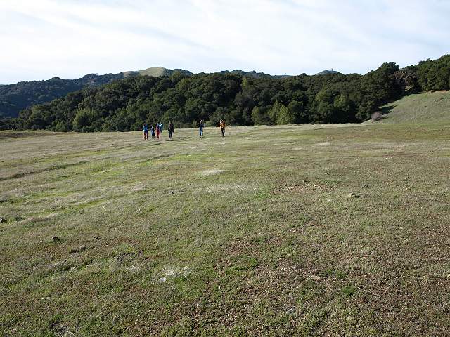
They are heading across the big flat area. Dirt from here was taken to seal Mine Hill to prevent contamination from mercury runoff.
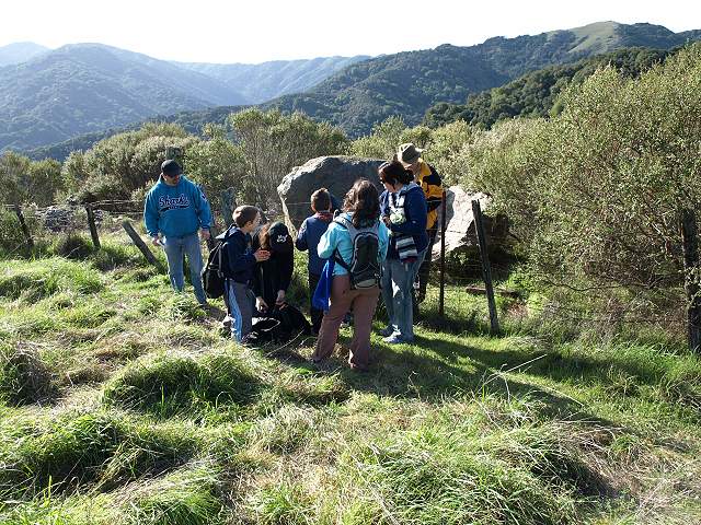
They are looking for a particularly well-hidden geocache near this fence.
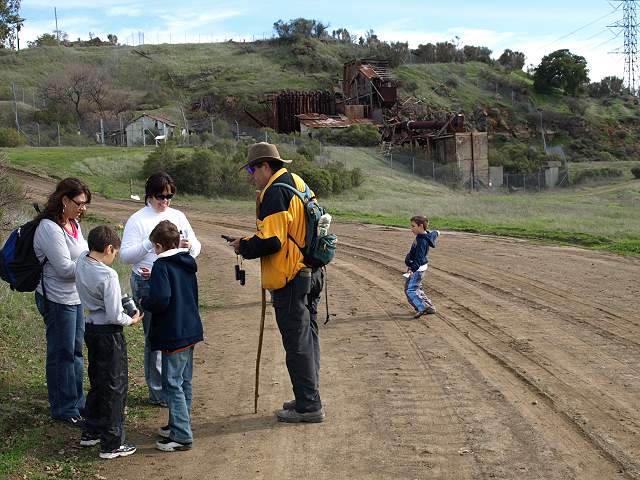
Coming up the trail, approaching the mining sites around Mine Hill.
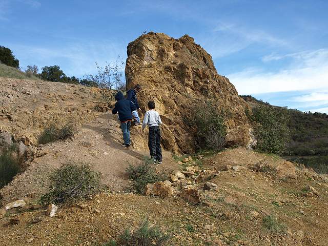
This rock is what's left of a collapsed mine tunnel. The kids look for a cache near it.
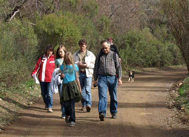
They are returning from the end of the trail to look for caches on the way back.
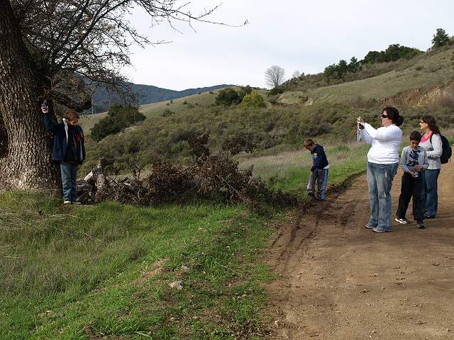
This was the famous "Hanging Tree," where vigilante justice was meted out by lynchings many years ago.
"I see it!"
Another cache near the Mine Hill Rotary Furnace.
This group has found the last cache and is heading back.

View back down the trail from near the rotary furnace
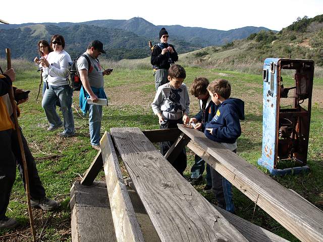
The kids find the last cache on the hill above the rotary furnace. This was where the mine trucks gassed up.
The last group comes up the hill by the rotary furnace.
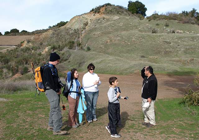
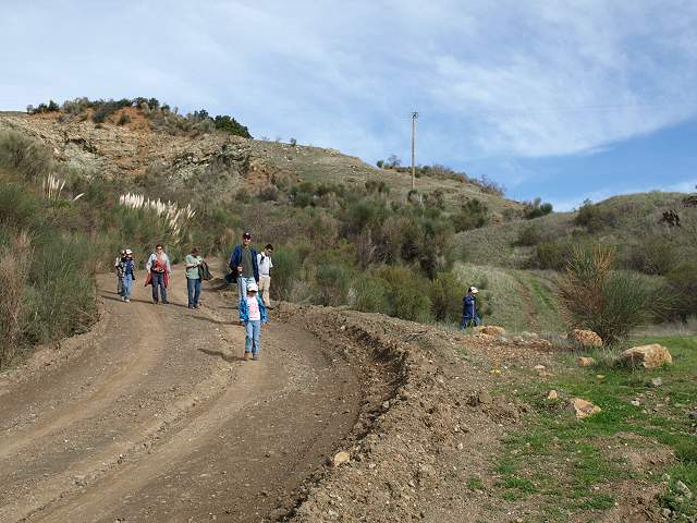
The class ends at the junction of the Wood Road and Castillero Trails. The highest point in the park, 1728-foot Mine Hill, is in the background.
The participants returned back on
the trail, while some of the geocachers continued on to explore more of
the park.
Sam Drake's pictures on Flickr
Created by Ron Horii, 1/18/09